.png)
Content at your fingertips
Import and sync documents. Ensure critical information is available offline. Make annotations with drawing, text, and highlights. Add custom map content and view it where you fly. Everything synced everywhere automatically.
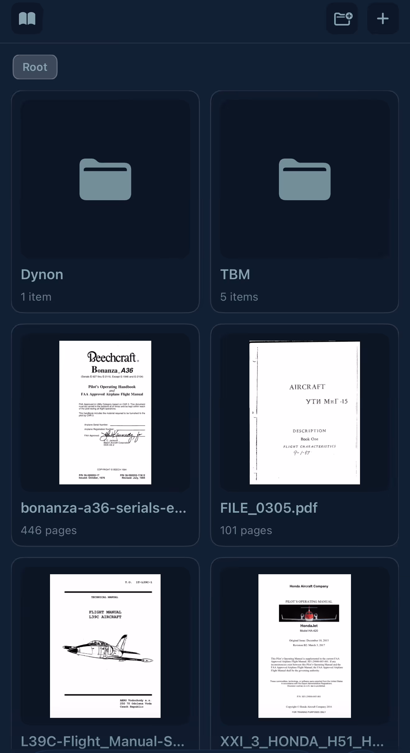
Documents & Maps
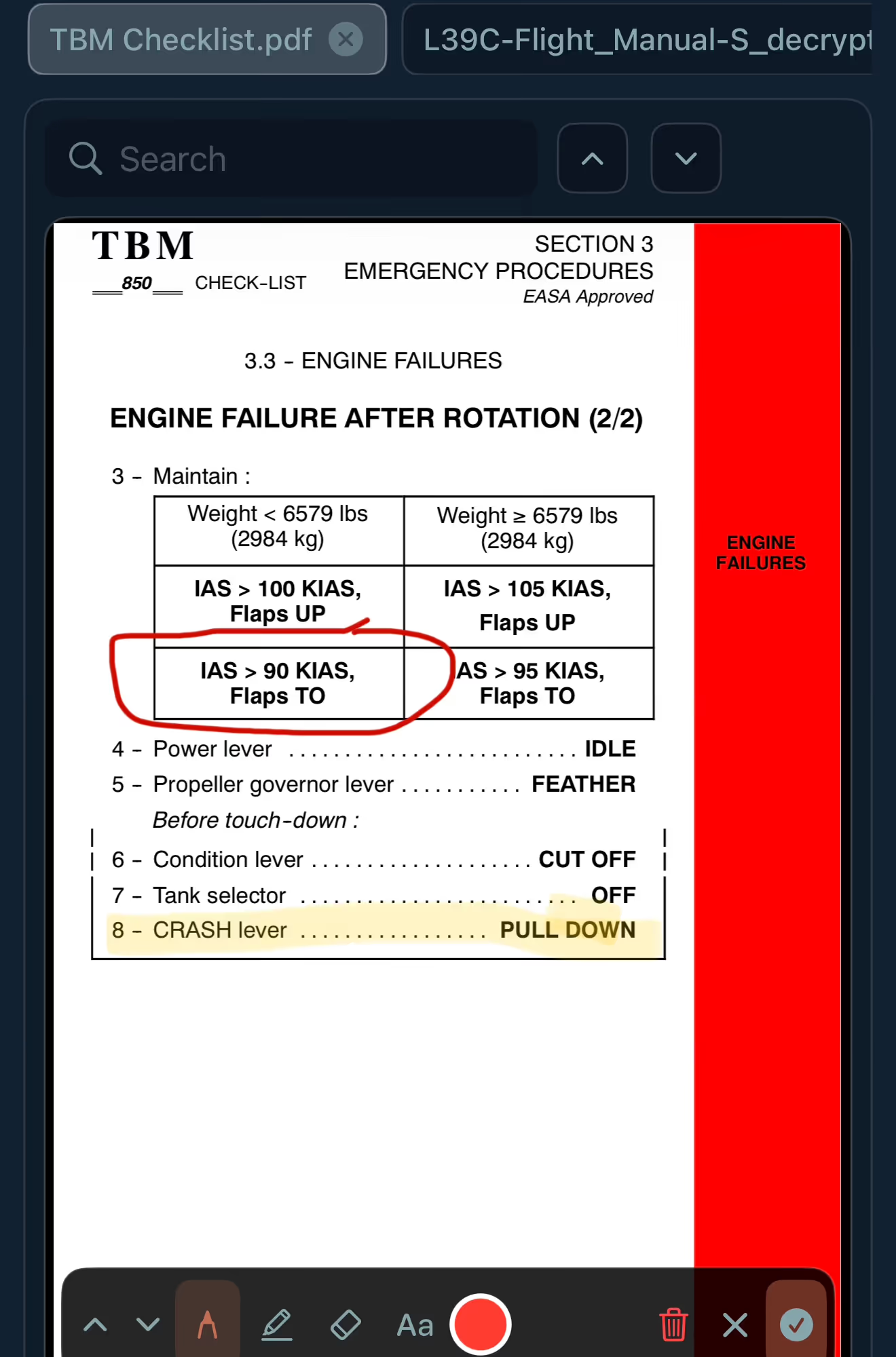
Document Reader
Open multiple documents in tabs for quick access to everything when you need it. Make annotations that sync to all of your devices.
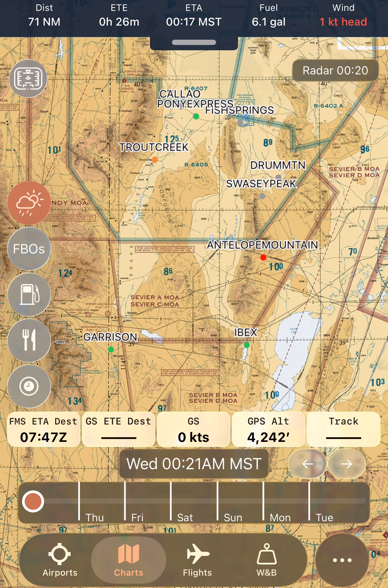
Custom Map Overlays
Import data from KML/KMZ or GeoJSON, sync to every device, and view or hide them from the map. Tap to view additional details.
Custom Maps
Import GeoTIFF or MBTiles map data and overlay them above the aviation basemaps. The aeronautical nav layer adds additional context above them.
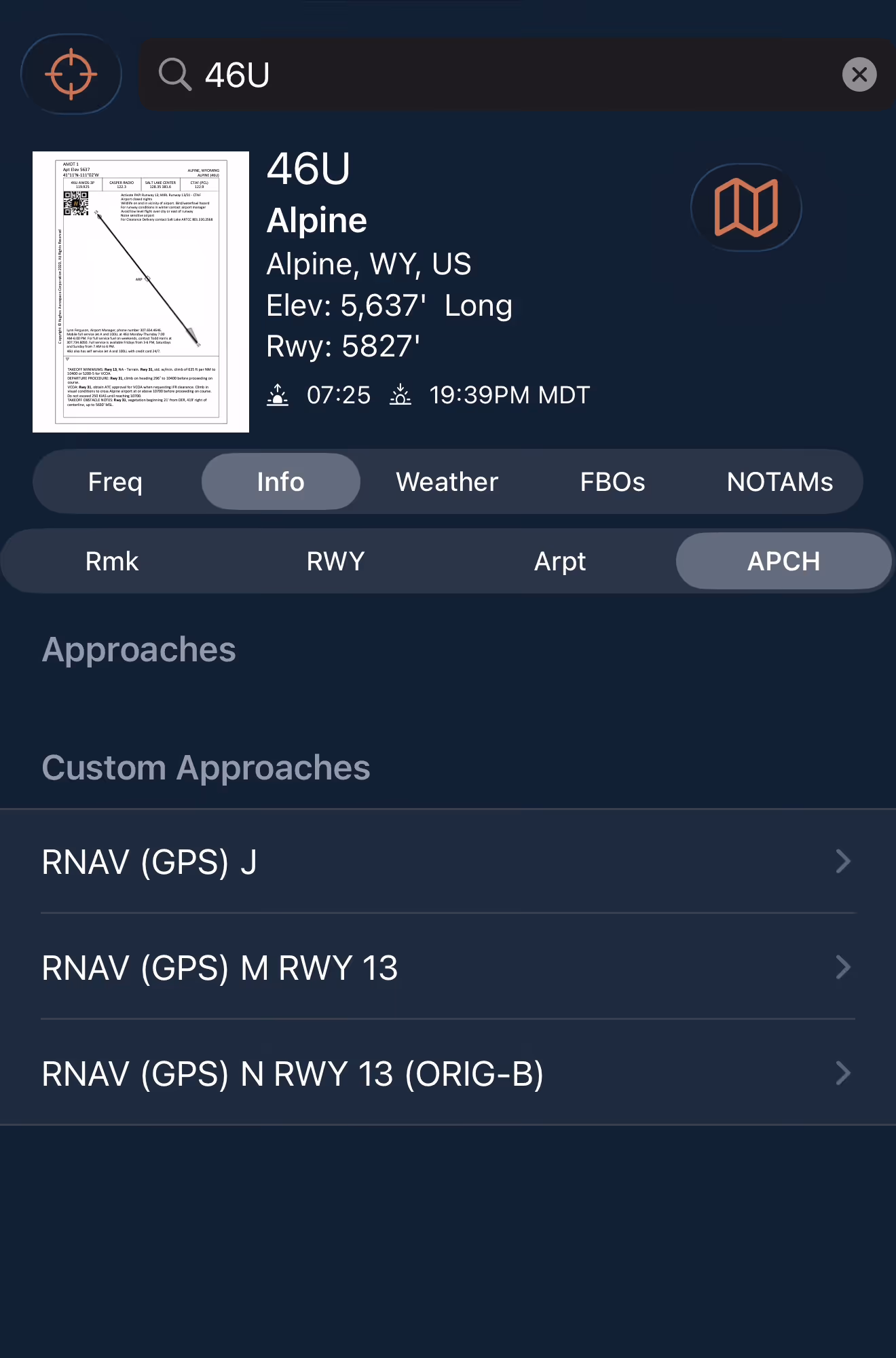
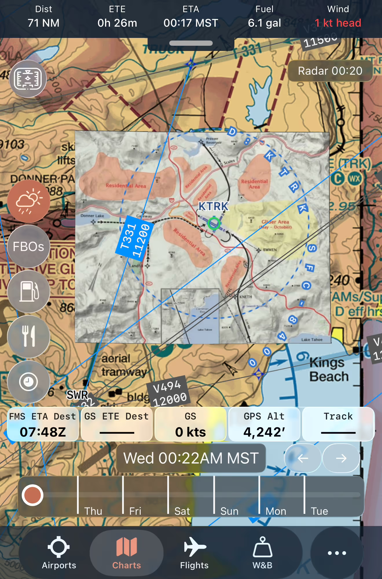
Custom Airport Plates
Import & sync custom IFR procedure plates, airport diagrams, and more. Fully georeferenced in the viewer with annotations or on the map.