.png)
Weather for pilots. By pilots.
Other EFBs use weather providers that serve hundreds of industries.
8Flight builds weather just for pilots.
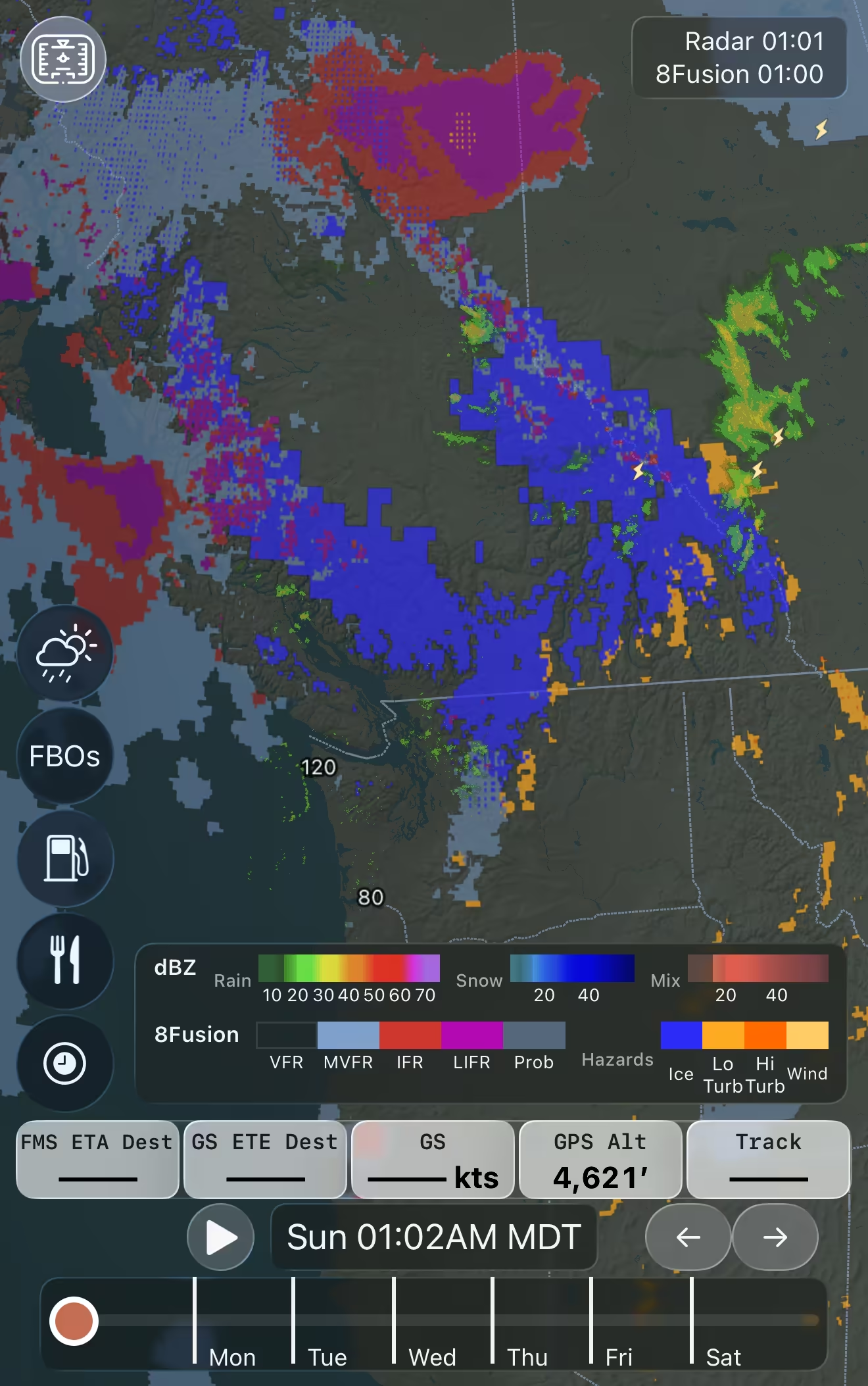
8Fusion intelligently combines more than 100 weather forecasts into one easy to understand layer so you immediately know what threats deserve further attention or avoidance entirely.
(And no, there's no AI -- just hard data you can trust.)
Pair it with (realtime or forecast) radar for a complete picture.
All the Weather in One Place

Flight Categories
See MVFR/IFR/LIFR ceilings and visibility on the map, even where there's not a METAR.
Altitude Summaries
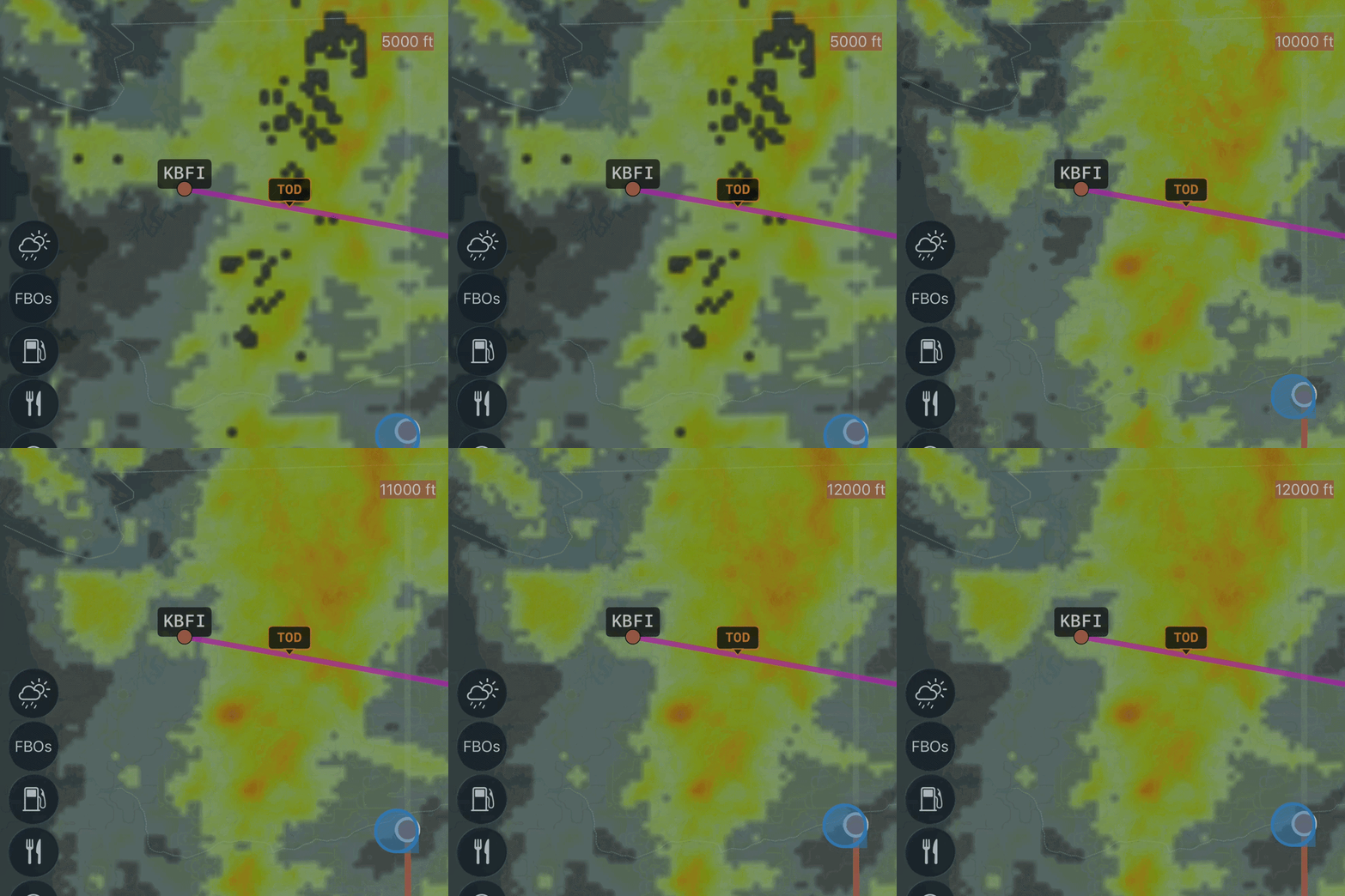
Identify low altitude (SFC-120) and high altitude (FL250-FL350) turbulence threats -- severe turbulence anywhere in that band, or moderate turbulence at every altitude in the band -- alone or layered on top of flight categories and low-altitude (i.e. unavoidable) icing.

Route Hazards
Instantly identify current and forecast hazards along a given route for a set departure time.
Or compare hazards along different routes.

Realtime Updates
Forecasts update every 15 minutes in the CONUS, with 15-minute forecasts for the first two hours as well -- see conditions now, 15 minutes from now, 30 minutes from now, etc.