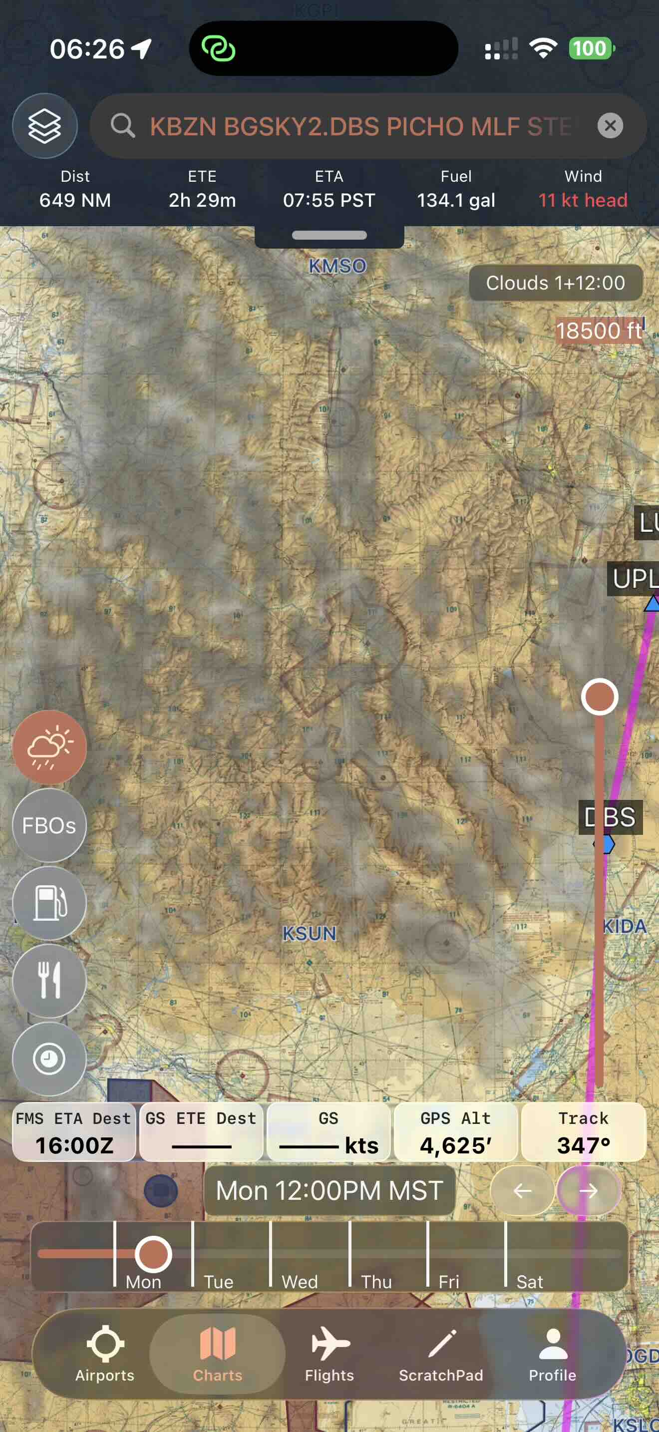
.png)
Icing Unlike You've Ever Seen
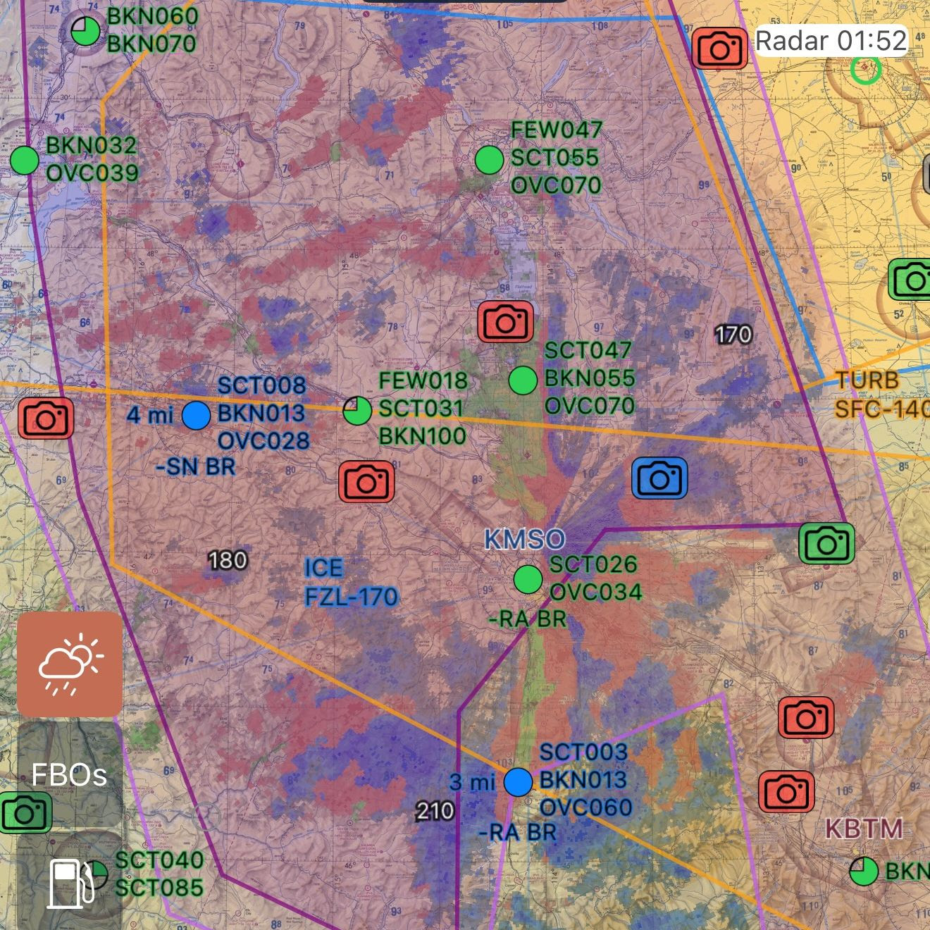
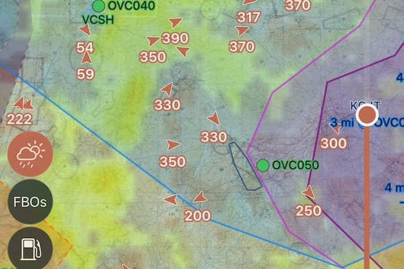
Just in time for icing season, we've added 20x higher resolution forecasts for CONUS and Alaska. (They still load instantly.)
The Best Cloud, Icing, & Turbulence Forecasts You've Ever Seen
Just in time for icing season, we've added 20x higher resolution forecasts for CONUS and Alaska. (They still load instantly.)
Fly Safer
• Better Plans: 20x more precise and 6x more accurate translates to better knowledge of what to expect.
• Avoid False Security: Large forecast zones no longer hide localized hazards—see what's really out there. And be prepared.
• Smarter Decisions: Reduce overreactions to broad forecasts and understand precisely which conditions are expected to produce hazards so you can avoid them.
See the 8Flight Difference
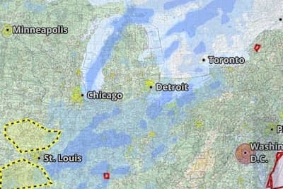
Legacy Models
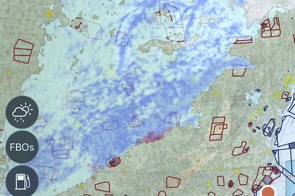
8Flight
Bumpy Rides
Smooth & Efficient
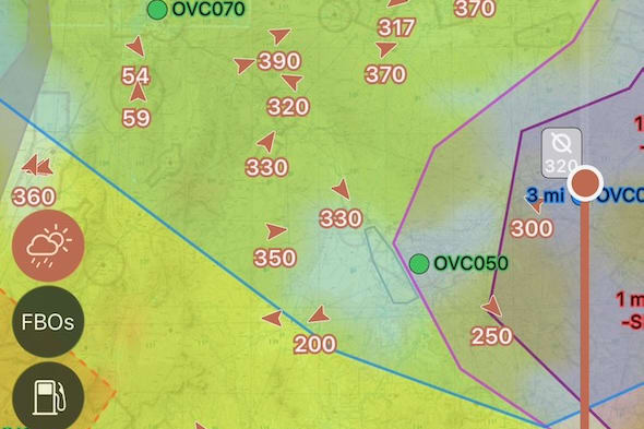
Plan for Individual Clouds.
Explore the New Forecasts
Flying Is All About Expectations
Half of flying an airplane is validating expectations against what's currently happening. From day one of cross-country navlogs to ATC interactions, control feel, and weather plans—it all starts with accurate expectations.
With other forecasts, you might think "this is better than forecast" when you're simply in an area covered by a broad grid—only to immediately encounter "this is worse than it's supposed to be" moments that catch you off guard.
Higher resolution forecasts help you set the right baseline, so your in-flight reality checks are grounded in precision—not guesswork.
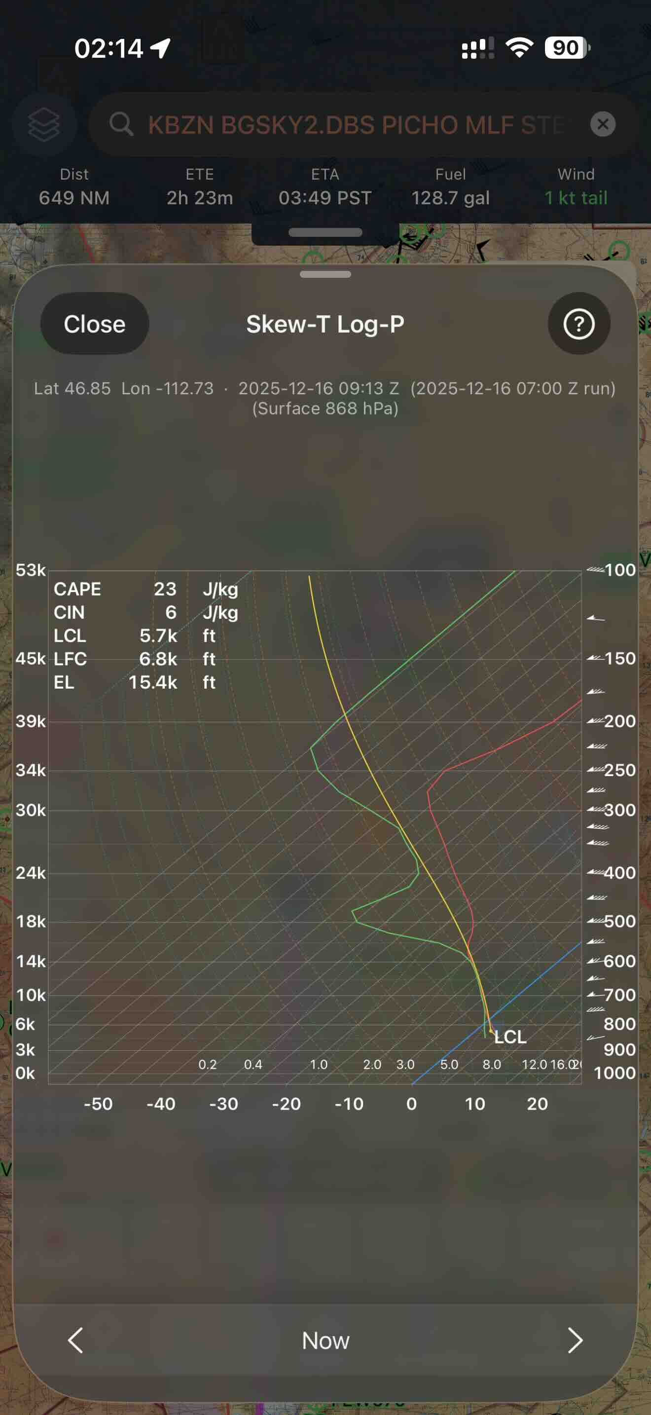
High resolution icing and turbulence forecasts are available at 1000ft intervals hourly to 18 hours and lower resolution to 48 hours (soon 7 days). High resolution cloud forecasts are available every 500-1000 ft hourly to 48 hours and lower resolution to 7 days. 8Flight's specialized “Cloud” processes 4,000+ GB of weather data every day to make it happen.

Questions? Email us 24/7 at help@eightflight.com