.png)
The FAA's Best Kept Secret
FAA’s Best Kept Secret
FAA’s Best Kept Secret
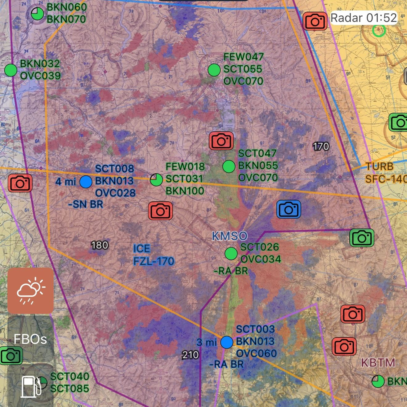
Pilots in Alaska know two things about the FAA — they do a fabulous job running FSS, and they operate a vast network of weather cameras at more than 500 sites throughout the US. weather cameras at more than 500 sites throughout the US.
I’m always shocked more pilots in the rest of the country don’t know such a great resource exists — even where there are ASOS/AWOS, those only tell you about the weather at one particular point and not what it’s doing 30 miles north or south or east or west.
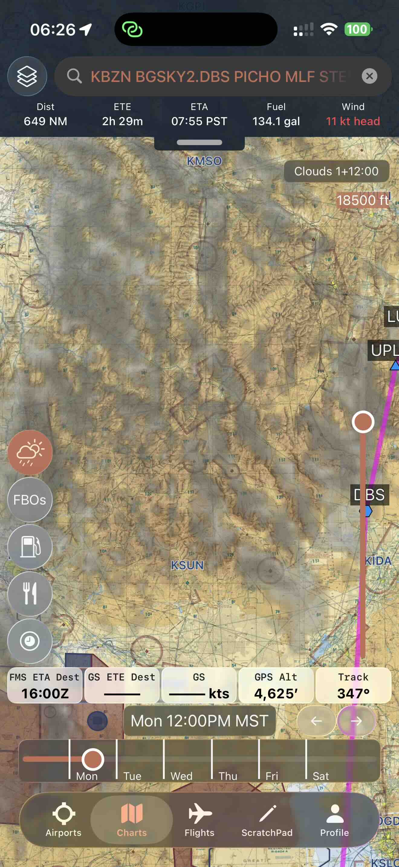
But cameras have always been a bit cumbersome to integrate into flight planning, and frankly more often than not I still forget that weathercams.faa.gov even exists. It can also involve a lot of clicking to view every single site & camera along your route just to find that 90% of them are the same or as expected.
So we took things much, much further.

One Layer with AI
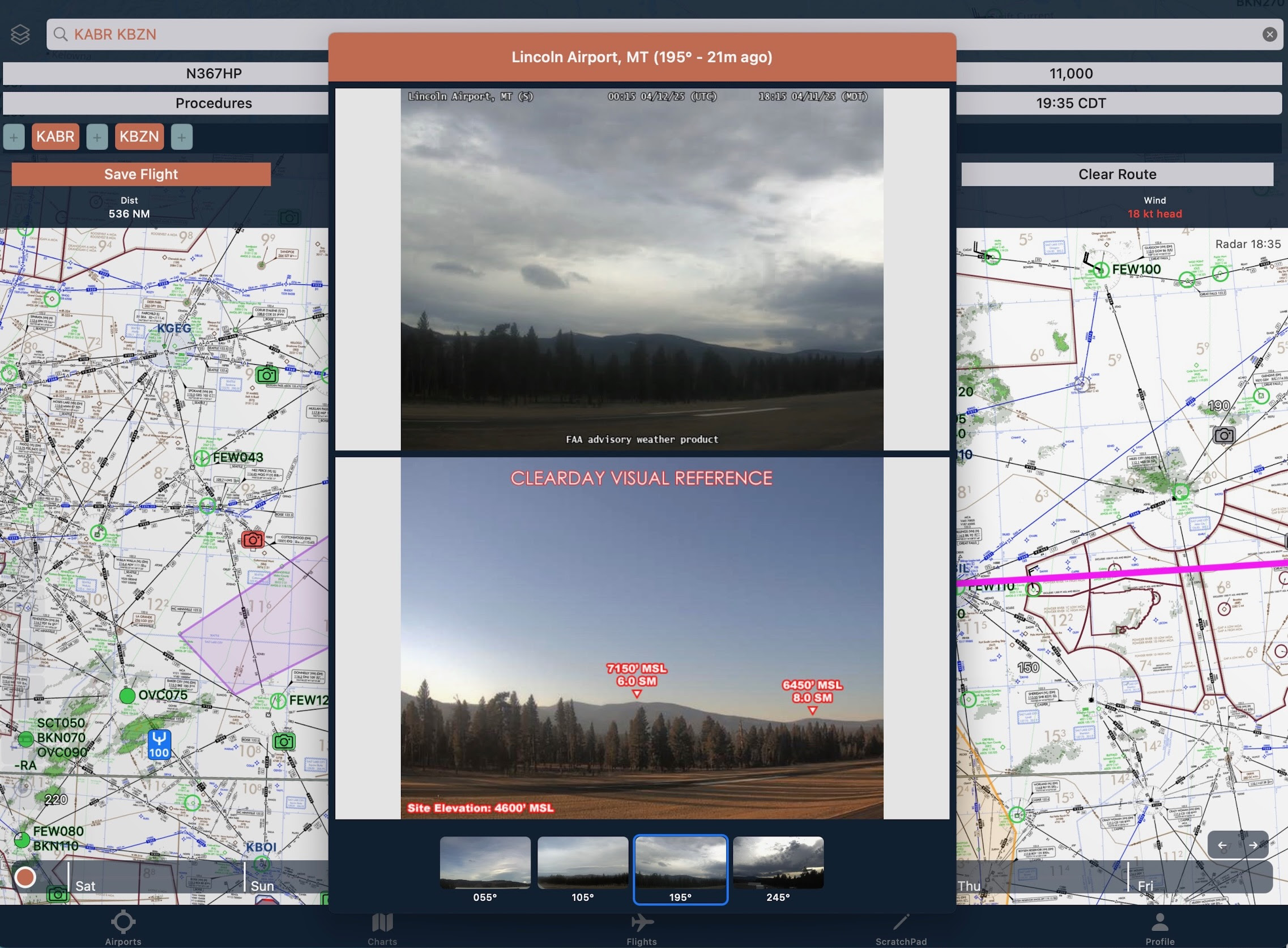
8Flight uses state-of-the-art computer vision models to estimate current conditions from the webcam images and color code them accordingly.
We integrate them right alongside METARs, which are already decluttered by importance / relevance.
(Whereas everyone else just naively fits a certain number to the screen or shows you bigger airports, even if they’re all clear and a million and others aren’t or vice versa.)
Lightning Fast
Not only does that make it easy to find cameras that might actually be relevant — but we show the full live & FAA clear-day images next to each other for instant comparison (even when they’re not an exact match).
And More Every Week
Since V2.0 we’ve added:
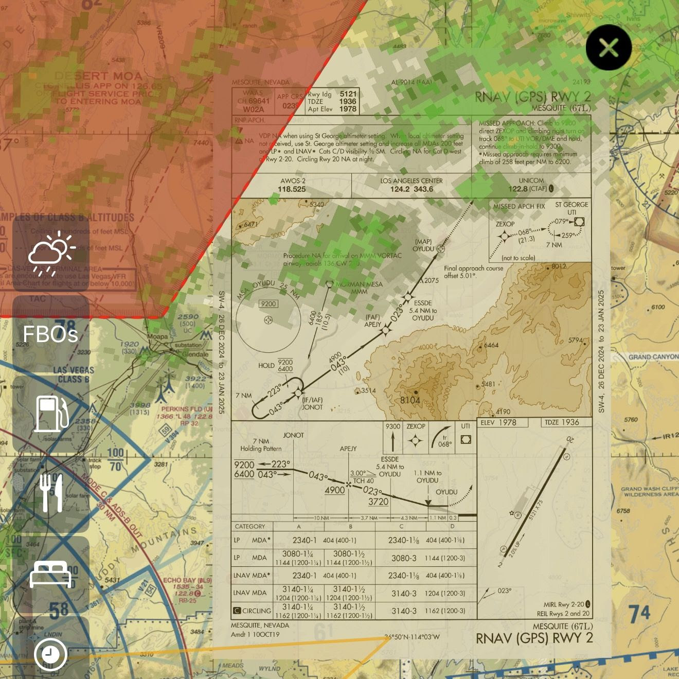
- Approach plates on the map
- Aerial/satellite imagery map layer
- 48-hour global icing & turbulence
- Aviation museums
- Massive performance improvements
- (And more coming)
- Much more
And there are another ~10 projects that are 80-90% complete. It’s going to be an exciting year for the future of the EFB.